Machine Control Models & Earthwork Takeoffs in North Carolina
North Carolina is graded in red clay — Charlotte and the Triangle building as fast as pads can be cut, industrial megasites along I-85, coastal-plain drainage work down east. TCL Consulting delivers earthwork takeoffs, 3D machine control models, and remote GPS support to North Carolina contractors, remotely.
Takeoffs That Hold Up on North Carolina Projects
Piedmont clay swings from bid-friendly to pump-and-haul with one wet week. We build cut/fill maps, material totals, and haul numbers from your plans and CAD, and read the documents for conflicts — undercut, rock notes, phasing — before you price the risk.
Machine Control Surfaces for North Carolina Dirt Crews
Subdivision phases in Wake County, a megasite pad off I-85, mountain grades near Asheville — we turn design data into finish grade, subgrade, and phased surfaces your operators can run, checked against the plans first.
GPS Help Without the Site Visit
From Wilmington to Winston-Salem, a data problem doesn't need a windshield tour. We remote in, fix the file or the localization, and get the machine back to cutting grade.
Our Services & Solutions
Machine Control Models
Our precise 3D models guide GPS-equipped machinery, ensuring accurate grading and material placement. Adaptable for complex projects, our models minimize errors and streamline the construction process.
Material & Earthwork Takeoffs
Get accurate material estimates to avoid costly overages or shortages. Our detailed takeoffs ensure that you know exactly what’s needed for every phase of your project.
Remote GPS Support
When downtime isn’t an option, our nationwide remote GPS support keeps your crews moving, your machines accurate, and your projects on track with fast, reliable service anywhere you work.
What North Carolina Contractors Get From TCL
Cut/fill maps and quantities that hold up in bid reviews
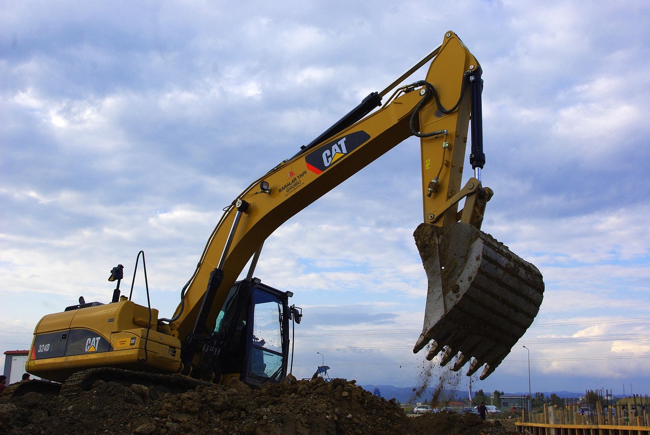
GPS-ready models for dozers, blades, and excavators
Files that have run on projects in 42 of 50 states
No middleman — you talk to the person building your file
Contact UsBidding North Carolina work? Send the plans and CAD data and you'll get a price plus any questions the documents raise. Call (402) 708-1577 or use the form below.
Common Questions
How do plan revisions get handled mid-project?
Revisions are part of dirt work — when the engineer reissues, the takeoff or model gets updated to match. If the change is big enough to move the timeline or cost, you hear about it before anything happens, never after.
What are your rates for North Carolina takeoff work?
Flat rates, published up front: up to 1 acre is $249, 1–10 acres $499, 10–20 acres $895, and 20+ acres $1,349. A pad in the Triangle prices the same as one anywhere else in North Carolina. For machine control models, the pricing-page calculator gives an instant per-acre figure, and anything oversized or unusual gets a firm quote first.
Can you hit a tight North Carolina letting date?
Most takeoffs come back in days, not weeks — a straightforward pad near Charlotte often in a couple of days, a complex phased site in up to a week, with the timeline fixed in the proposal. A 48-hour rush option (+20%) exists for the bids that cannot wait.
Do we ever need you on-site in North Carolina?
Yes — every takeoff and model is delivered remotely, and it works the same in Charlotte, the Triangle, or the I-85 megasites and the coastal plain. When a crew is stuck on grade, remote GPS support gets into the data and fixes it without waiting on a truck. Field control, localization, and verification stay with your crew — we build the model, you own the site.
What files should we send for a North Carolina project?
The short list: plans, grading data, and engineering files — plus real CAD/surface data with control for any machine control model, since PDF-only source is not sufficient for reliable model production. The first step on every job is a document review that hunts for conflicts, gaps, and missing sheets before the clock starts.