
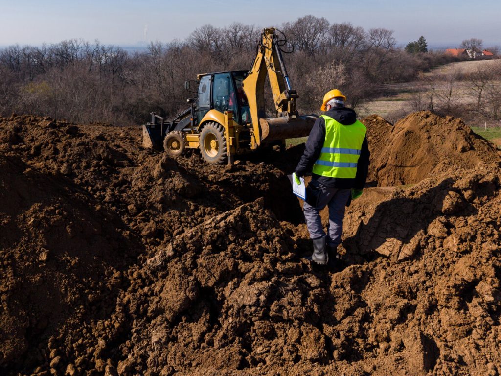
If you have ever looked at a grading plan and thought, “This should be simple,” you already know how earthwork can humble a person fast. A site that looks balanced on paper can turn into a mess once the numbers start moving. One bad assumption about existing grade, one missed breakline, one surface that was built from incomplete information, and suddenly haul costs, schedule pressure, and field frustration all show up at once.
That is why learning how to calculate cut and fill matters. It is not just a math exercise for estimators or engineers. It is one of the core steps that helps contractors bid more confidently, plan equipment needs, understand export or import material, and avoid expensive surprises after mobilization. When done right, cut and fill calculations give you a realistic picture of what the site is asking for before iron hits the dirt.
At TCL Consulting, this is the kind of work we live in every day. We build machine control models and earthwork takeoffs from a field-first perspective, which means the numbers have to make sense where the tracks actually run, not just inside a clean-looking file. In this guide, we will walk through how cut and fill is calculated, what information you need, where mistakes happen, and why accurate modeling makes such a difference.
What Cut and Fill Actually Means
Cut and fill is the process of comparing the existing ground surface to the proposed finished grade. If the proposed surface is lower than the existing ground, that material needs to be removed. That is cut. If the proposed surface is higher than the existing ground, material needs to be added. That is fill.
Simple enough in theory. In practice, every site has its own personality. Parking lots, ponds, building pads, retaining walls, curb returns, sidewalks, slopes, tie-ins, and drainage features all affect the result. Even a site that appears flat can hide meaningful volume changes once the grading is broken into actual surfaces.
This is why contractors do not just want “a number.” They need quantities that reflect how the job will really be built. A rough estimate based on averages can be useful early on, but when it is time to bid, sequence work, or load machine files, the details matter.
The Basic Formula Behind Cut and Fill Calculations
At its core, cut and fill calculation is a comparison between two surfaces:
- Existing ground surface
- Proposed finish grade surface
The basic idea is to measure the vertical difference between those surfaces across the site and then convert those differences into volume. If existing grade is above proposed grade, that section is cut. If existing grade is below proposed grade, that section is fill.
Volume is usually expressed in cubic yards in civil construction, though some plans and software may work in cubic feet first and convert later. Since one cubic yard equals 27 cubic feet, that conversion becomes important when checking quantities.
The challenge is that the ground is not a shoebox. It is irregular, sloped, broken by features, and influenced by design intent that may not always be fully spelled out in the plans. So while the formula is straightforward, reliable results depend on accurate surfaces, good assumptions, and careful review.
What Information You Need Before You Start
Before calculating anything, you need the right inputs. Bad source information guarantees bad output. It does not matter how advanced the software is if the underlying grading information is incomplete or contradictory.
At a minimum, you typically need:
- Existing topographic survey
- Proposed grading plan
- Civil plan set
- Spot elevations and contours
- Building pad elevations
- Curb flowline or top of curb elevations
- Sidewalk and pavement grades
- Pond and drainage details
- AutoCAD files, if available
- Notes about over-excavation, unsuitable soils, or stripping requirements
The existing surface is your baseline. If it is outdated, sparse, or missing key terrain features, your cut and fill numbers can drift quickly. The proposed surface matters just as much. If the grading sheets leave too much open to interpretation, someone has to connect the dots. That is where experience matters. A modeler with field knowledge can often spot when the plans are not fully telling the story.
Manual Cut and Fill Calculation Methods
There is more than one way to calculate cut and fill. Older methods still have value, especially for quick checks or simple sites.
One common manual method uses a grid. The site is divided into squares, and elevations are compared at each corner or grid point. The difference between existing and proposed elevations is used to estimate the volume within each grid cell. After adding all the cells together, you get a total cut and fill estimate.
Another method is the cross-section approach. This is often used on linear projects such as roads, channels, or utility corridors. You create sections at regular intervals, calculate cut and fill area within each section, then multiply by the distance between sections to estimate volume.
These methods can work, but they have limitations. A grid method may miss subtle grade transitions if the spacing is too wide. Cross-sections can overlook irregular changes between stations. On a modern commercial site with islands, curb lines, ramps, and drainage structures, manual methods are often too blunt to capture the full picture.
How Software Calculates Cut and Fill
Most reliable earthwork calculations today are performed using civil modeling software. Programs like AutoCAD Civil 3D and similar tools create triangulated surfaces from survey data and proposed grading information. These surfaces are then compared to calculate the difference in volume.
Think of it like laying one skin over another and measuring the space between them. The software breaks each surface into tiny triangles, compares the elevation differences, and sums the volume across the site. This method is far more precise than hand calculations, especially when the site includes a lot of grade changes.
That said, software is not magic. It reflects the data and assumptions used to build the surfaces. If a curb return is modeled wrong, if a wall break is missing, if a parking lot tie-in was guessed incorrectly, the quantity result can be off by enough to hurt a bid. Good software in careless hands is still careless work.
Step-By-Step: How to Calculate Cut and Fill
The exact workflow varies by project, but the process usually follows the same broad path.
First, gather the plans and supporting files. If CAD files are available, that helps speed things up and reduce interpretation errors. If not, a model can still be built from PDF plans, but it often takes more time and more judgment.
Next, build the existing ground surface. This may come from topo points, contours, breaklines, and survey figures. The goal is to create a surface that reflects the actual site as accurately as possible. If the topo is thin or questionable, that should be flagged early.
Then build the proposed surface. This is where the grading plan is translated into a usable 3D model. Spot grades, contour lines, slopes, curb lines, pads, swales, pond bottoms, and tie-ins all need to be interpreted correctly. This step is where many quantity errors begin, because plans are not always as complete as they should be.
After both surfaces are built, compare them. The software calculates the volume difference between the existing and proposed surfaces and separates the result into cut and fill quantities. Depending on the project, this may also be broken into phases or areas.
Then review the result against the plans and common sense. If a site shows massive import on a design that appears balanced, something may be wrong. If the numbers seem too clean, that can also be a warning sign. Earthwork rarely behaves like a textbook problem. It is worth checking assumptions, tie-ins, and model boundaries before trusting the final report.
Finally, apply any project-specific adjustments. This may include topsoil stripping, shrink and swell factors, undercut areas, subgrade treatment, or designated export material. Raw cut and fill is only part of the story. What matters in the field is what material is usable, where it can go, and how it behaves once moved.
Understanding Shrink, Swell, and Usable Material
A common mistake in earthwork planning is assuming one cubic yard in the ground equals one cubic yard after excavation and placement. Dirt does not work that way.
When soil is excavated, it usually expands. That is swell. When material is compacted in fill areas, it may reduce in volume. That is shrink. The exact factor depends on the soil type, moisture, and compaction requirements. Clay, rock, sand, and mixed site material all behave differently.
This means a perfectly balanced raw cut and fill site may not be balanced in practice. You may still need import material, or you may have excess material that cannot be reused where you hoped. Add unsuitable soils or moisture issues and the equation changes again.
For bidding and planning, this is where experience becomes just as important as math. A quantity report without context can create a false sense of confidence. Contractors need to know not only the numbers, but what those numbers likely mean once the job starts moving.
Where Cut and Fill Calculations Go Wrong
Most major errors are not caused by arithmetic. They come from incomplete information, weak assumptions, or poor modeling.
One common issue is missing or unclear grading intent. Plans may show enough to permit the job, but not enough to build a clean surface model without interpretation. A sidewalk may not tie smoothly into adjacent pavement. A curb line may not fully resolve at an entrance. A wall or ramp may create a grade break that is easy to miss.
Another issue is bad topo data. If the existing survey is old, sparse, or does not reflect current site conditions, the comparison surface is already compromised. On redevelopment sites especially, existing conditions can shift due to demolition, stockpiling, or prior grading work.
Boundary mistakes also create problems. If the model comparison area extends beyond the real limits of work, quantities can be inflated. If tie-ins are cut off too early, quantities can be understated. It is like measuring a room with one wall missing. You can still write down a number, but it does not mean much.
Then there is the human factor. A model can be technically complete and still not be practical. If it does not reflect how the project will actually be staked, graded, and built, the quantity may look polished while missing the point.
Why Accurate Cut and Fill Matters to Contractors
For contractors, cut and fill is not just estimating trivia. It affects real decisions.
It influences bid strategy. If your earthwork quantity is off, your number can be too high to compete or too low to survive. Neither one is a good place to be.
It affects hauling and trucking. Knowing whether you are exporting 500 yards or 5,000 yards changes labor, fuel, disposal costs, and schedule planning. That is not a rounding error. That is a different job.
It also affects equipment and sequencing. A site with heavy cut in one corner and structural fill in another may need a different plan than a site with balanced movement throughout. Good quantities help crews stay efficient instead of reacting all day.
And if you are using machine control, the model and the takeoff need to agree. When those pieces are built together with care, the office and the field are working from the same map. That reduces confusion, rework, and those painful phone calls that start with, “These numbers don’t match what we’re seeing out here.”
A Practical Example
Imagine a 3-acre commercial site with a building pad, parking lot, pond, and perimeter grading. The existing site slopes gently from north to south. The proposed design raises the building pad, lowers part of the pond area, and reshapes the parking lot for drainage.
On a quick visual read, the site might appear close to balanced. But once the surfaces are modeled, the numbers tell a different story. The raised pad and parking lot require more compacted fill than expected, while the pond cut creates a large excavation area with material that may not all be suitable for reuse. Add topsoil stripping and shrink factors, and the project may shift from “balanced” to needing imported structural fill.
That kind of change affects the bid immediately. It changes trucking, schedule, and material sourcing. If the contractor only relied on a rough average-depth estimate, the difference might not show up until well after award. By then, the dirt has already started costing money.
When to Outsource Cut and Fill Takeoffs
Some contractors handle earthwork quantities in-house. That makes sense when they have the time, software, and staff to do it well. But many teams are stretched thin, and earthwork takeoffs are one of those tasks that punish rushed work.
Outsourcing can make sense when the site is complex, the plans are incomplete, the bid schedule is tight, or machine control files will also be needed. A good outside partner does more than produce a report. They help identify missing details, flag design conflicts, and build deliverables that are useful in the field.
That is especially valuable when the grading plans leave room for interpretation. Clean numbers are nice. Defensible numbers are better. Contractors need quantities they can trust when real money is on the line.
Final Thoughts on Calculating Cut and Fill
If you want the short answer to how to calculate cut and fill, it is this: compare the existing surface to the proposed surface and measure the volume difference. But the useful answer is more honest than that. Accurate cut and fill depends on good topo, clear grading intent, careful surface modeling, and enough field sense to catch what the plans do not spell out.
That is the difference between a number that looks fine in a spreadsheet and a takeoff that actually helps a contractor win and run the job.
At TCL Consulting, we build earthwork takeoffs and machine control models with that practical mindset. We know what happens when quantities do not add up, when design intent is muddy, or when a file looks good in the office but causes problems in the field. If you need help with cut and fill calculations for an upcoming project, we can help you get clearer numbers before the stakes go in the ground.

