Machine Control Models & Earthwork Takeoffs in Arizona
Arizona moves dirt at production scale — mass-graded subdivisions across the Phoenix valley, industrial parks in the West Valley, growth pushing out from Tucson. TCL Consulting supports Arizona contractors with earthwork takeoffs, 3D machine control models, and remote GPS support, delivered remotely.
Bid Arizona Work with Real Quantities
Caliche doesn't care what the average depth says. We build cut/fill maps, material totals, and haul quantities from your plans and CAD, and flag the questions the documents raise — rippability, shrink, borrow — before you commit a number.
3D Models Built for Arizona Grade Control
Sheet-graded pads, retention basins, half-section subdivisions — we turn the design into finish grade, subgrade, and phased surfaces your operators can run all day in the heat, checked against the plans before delivery.
Stuck on Grade in Arizona? We Remote In
When a file chokes in Casa Grande or a rover loses its mind in Mesa, we take the problem over remotely and get grade control working again — no waiting on a truck from town.
Our Services & Solutions
Machine Control Models
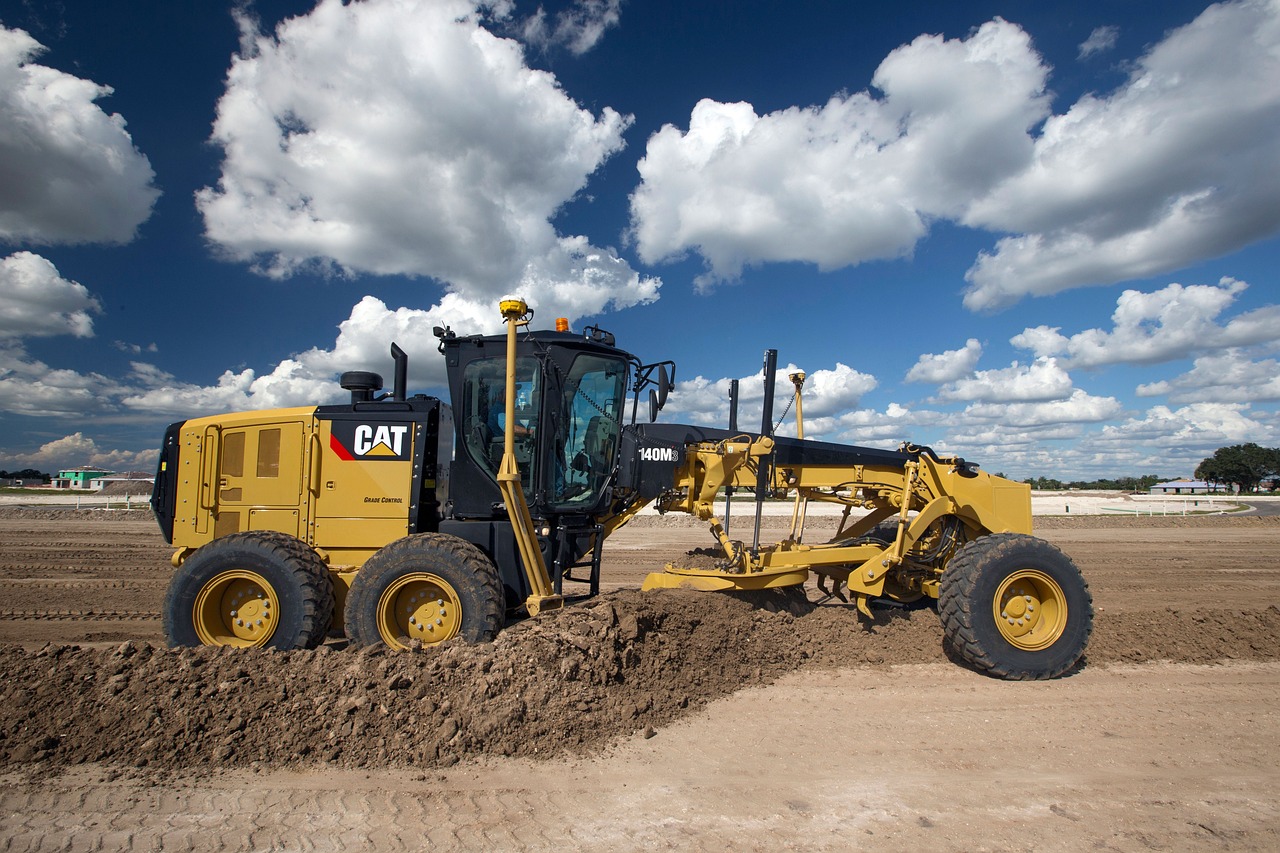
Our precise 3D models guide GPS-equipped machinery, ensuring accurate grading and material placement. Adaptable for complex projects, our models minimize errors and streamline the construction process.
Material & Earthwork Takeoffs
Get accurate material estimates to avoid costly overages or shortages. Our detailed takeoffs ensure that you know exactly what’s needed for every phase of your project.
Remote GPS Support
When downtime isn’t an option, our nationwide remote GPS support keeps your crews moving, your machines accurate, and your projects on track with fast, reliable service anywhere you work.
Why Arizona Contractors Work With TCL
Quantities worked up from the actual plans, not square-foot guesses
Surfaces built for GPS-guided dozers, blades, and excavators
Plans and specs read for conflicts before any model gets built
One modeler on your file — in this industry since 2013
Contact UsGot Arizona dirt on the schedule? Send the plans and CAD data and get a price back, plus any questions the documents raise. Call (402) 708-1577 or use the form below.
Common Questions
What happens when the engineer revises the plans?
Revisions are part of dirt work — when the engineer reissues, the takeoff or model gets updated to match. If the change is big enough to move the timeline or cost, you hear about it before anything happens, never after.
What does an earthwork takeoff cost for an Arizona project?
No mystery math: earthwork takeoffs run $249 for sites up to an acre, $499 to 10 acres, $895 to 20, and $1,349 beyond that — the Phoenix valley, the West Valley industrial parks, or anywhere between. Model pricing comes from the calculator on the pricing page, and complex scopes are quoted before we begin.
How fast can we get quantities back for an Arizona bid?
Expect a couple of days on simpler work and up to a week on intricate sites; the proposal pins the date so you can plan the bid. If the schedule is tight, sub-48-hour rush turnaround is available at a 20% premium.
Do we ever need you on-site in Arizona?
Everything ships remotely, so distance never adds a dime or a day — mass grading at production scale and all. Remote GPS support covers the moments a screen goes red in the field. One thing that never changes: your crew keeps responsibility for field control, localization, and checking the model against the site before grading to it.
What do you need from us to start an Arizona takeoff?
Send the plans, the grading information, and any CAD the engineer will release — for models, current surface data, alignments, and control are required, because a PDF by itself will not produce a reliable machine file. Before anything is built we read the full set and send back the questions it raises; on Arizona sites that review has a way of paying for itself.